Neighborhood
Suffield, Connecticut.
Tobacco fields, a town green, and a school system people move here for — with two cities and an international airport inside a half-hour drive.
- Interstate 91
- ≈4 mi
- Bradley Airport
- ≈6 mi
- Springfield
- ≈14 mi
- Hartford
- ≈19 mi
The town
Farm country between two cities.
Suffield sits at the top of Connecticut, on the Massachusetts line. Route 159 runs the length of it, past the town green and the shade-tobacco fields that still work the valley floor.
Emily Way is on the north end, a residential street off the main road. From here, groceries and the Amtrak station in Windsor Locks are a few minutes south, Bradley is the next exit down, and I-91 puts Hartford and Springfield within a normal commute.
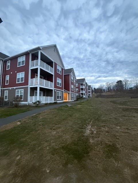
From 6 Emily Way
- Route 159Suffield’s main road, connecting north to Agawam and south to Windsor Locks.
- In town
- Interstate 91The north–south spine between New Haven, Hartford, and Springfield.
- ≈4 mi
- Windsor LocksGroceries, pharmacies, and the Amtrak station on the Hartford Line.
- ≈5 mi
- Bradley International AirportConnecticut’s main airport, and a large local employer.
- ≈6 mi
- Springfield, MAStraight up I-91 for downtown, MGM Springfield, and Baystate Health.
- ≈14 mi
- HartfordThe state capital, downtown offices, and UConn Health in Farmington.
- ≈19 mi
Distances are approximate driving distances and are given for orientation only. Check current routes and travel times before you rely on them.
On the map